


Black and White Effect
The Black and White effect transforms color images into grayscale, emphasizing contrast, texture, and composition. This classic effect is beloved in portrait, s...
5 min read
grayscale
monochrome
+2
Effect
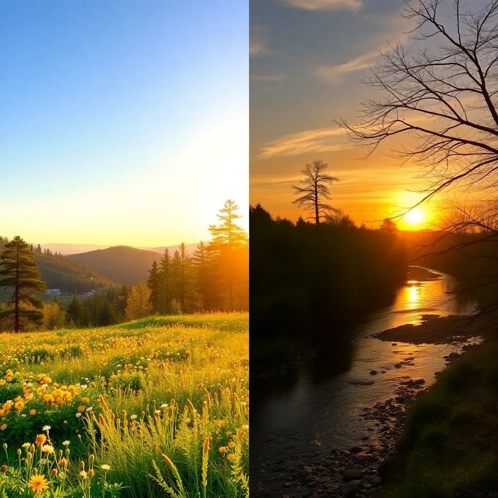
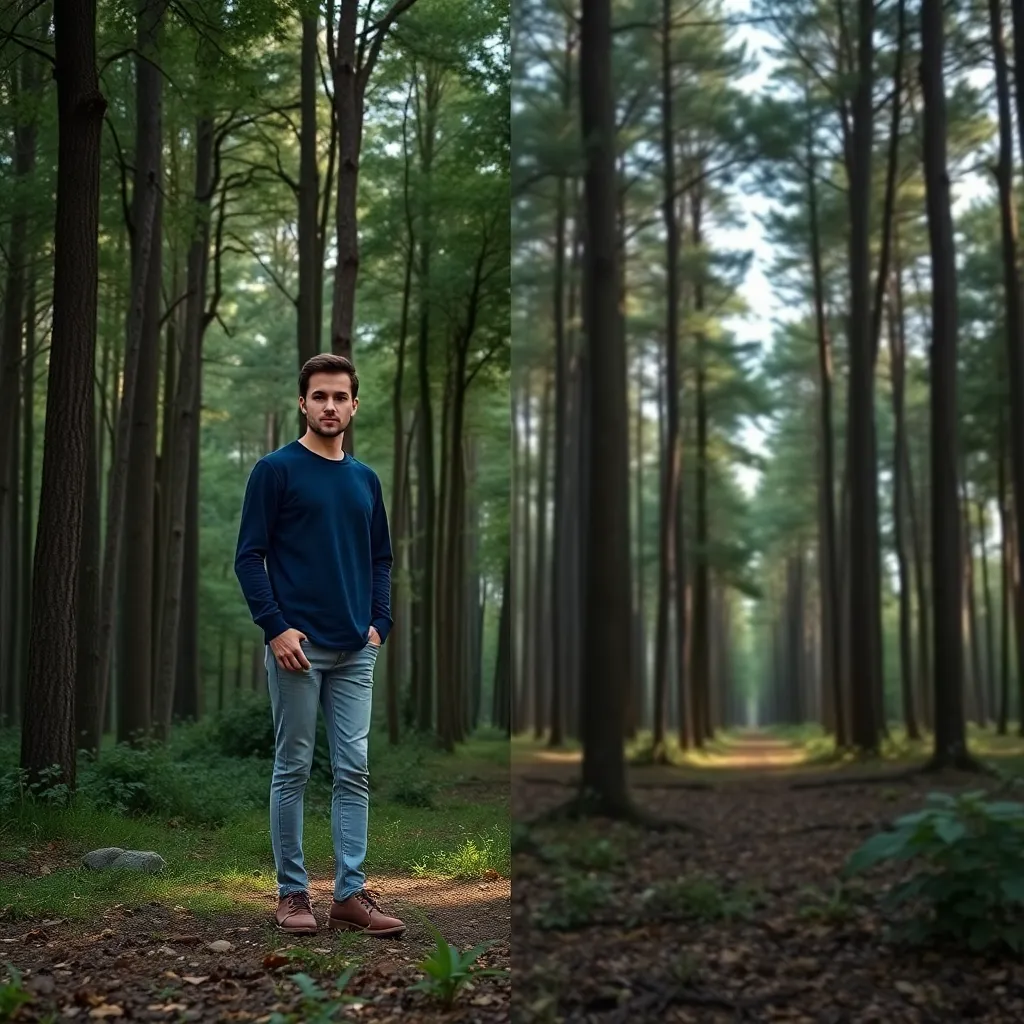
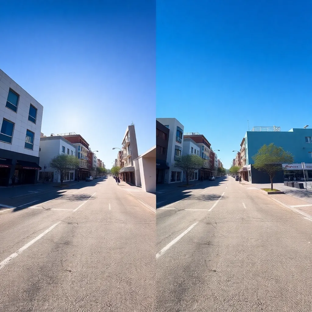
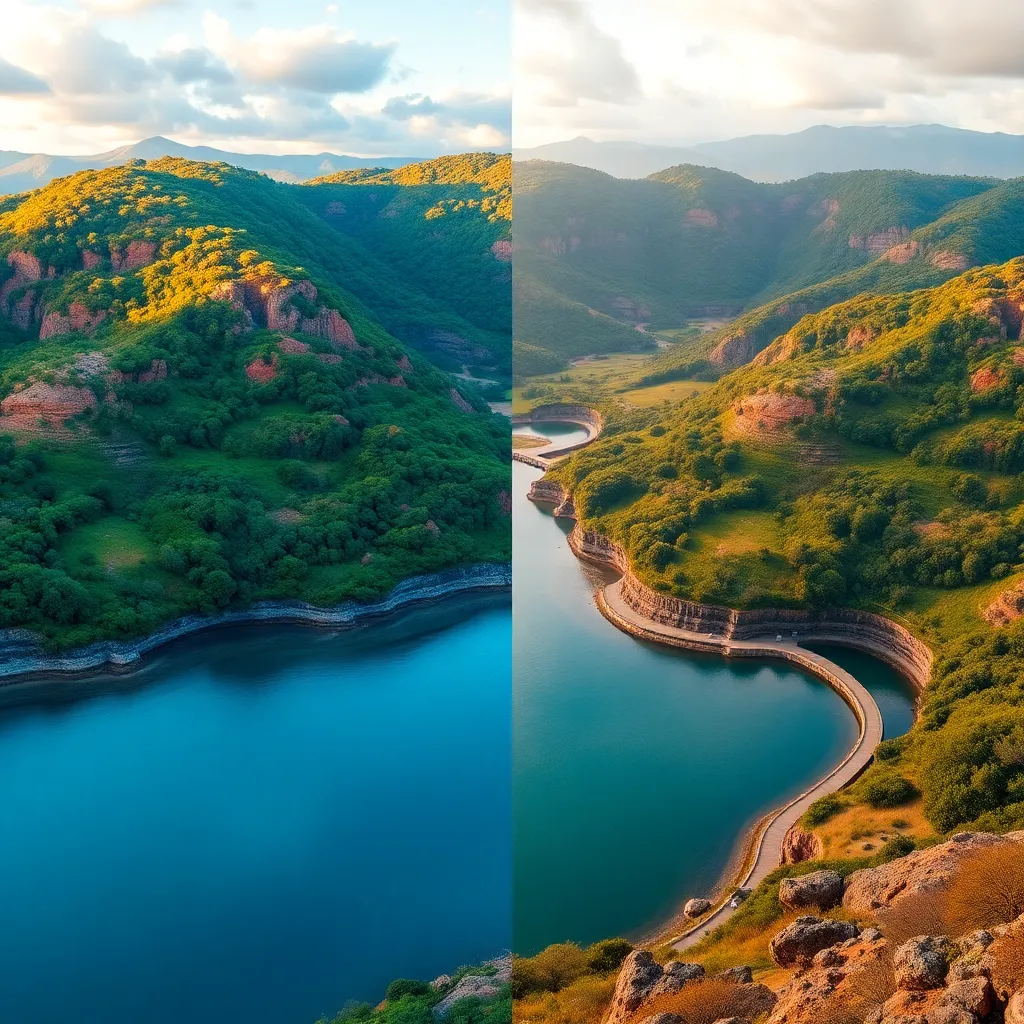
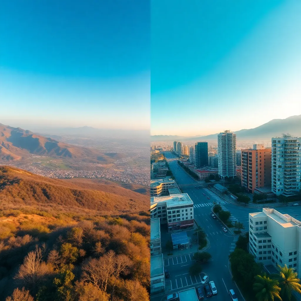
The Aerial effect in photography creates dramatic, bird’s-eye views of landscapes, cityscapes, events, and structures. This effect is achieved by capturing images from elevated positions—using drones, aircraft, or high vantage points. The result is a unique perspective that highlights scale, patterns, and details invisible from ground level, making it invaluable for a wide range of genres including landscape, architecture, urban, and commercial photography.
Try Photomatic AI to generate awe-inspiring aerial effect images. Our advanced AI lets you produce high-quality, bird’s-eye-view photos in just a few clicks. Experiment with the Aerial effect today and transform your visual storytelling!
Generate your own AI images with Aerial effect
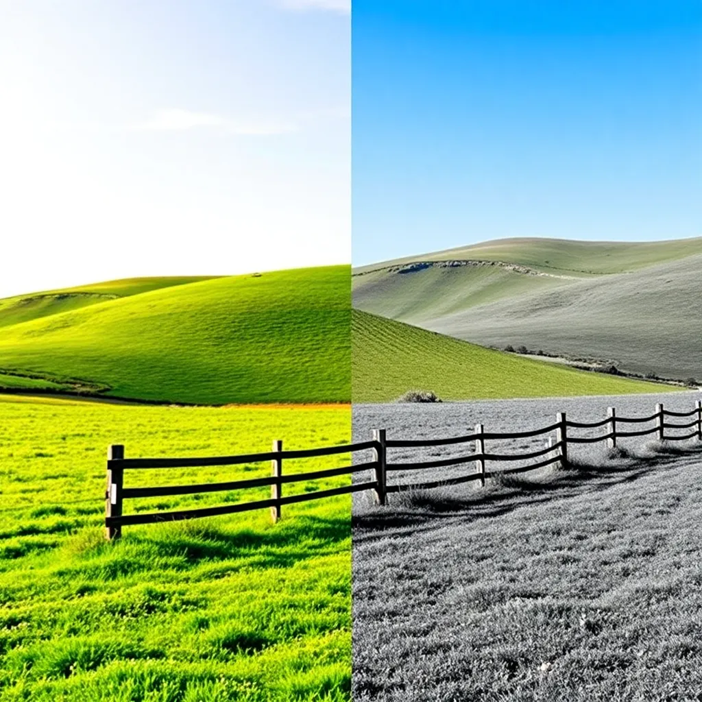
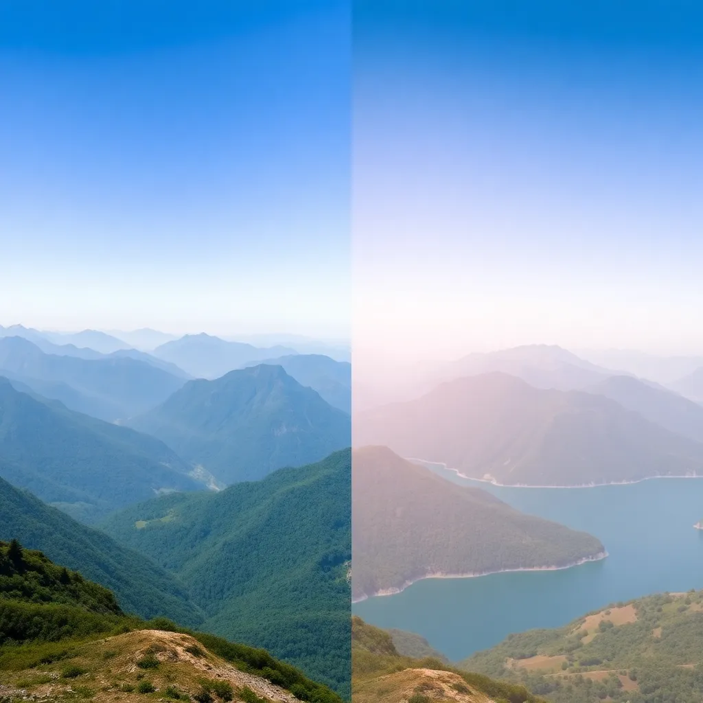
The Aerial effect in photography refers to capturing images from a high or elevated viewpoint, offering a bird’s-eye or top-down perspective. This approach dramatically changes how viewers perceive the scene by revealing patterns, scale, and spatial relationships that aren’t visible from the ground. The effect is typically achieved using drones, helicopters, airplanes, or by shooting from tall buildings and other high vantage points. In digital art and modern photo editing, the Aerial effect can also be simulated using AI or editing techniques, but nothing matches the authenticity and impact of true aerial photography.
Aerial imagery transforms ordinary scenes into compelling visual narratives. Whether it’s a sprawling city, an intricate patchwork of farmland, or an undulating coastline, the Aerial effect emphasizes the grand design and interconnectedness of the world below.
The Aerial effect is popular among a wide spectrum of creators and professionals:
In recent years, the accessibility of consumer drones has democratized aerial photography, making it available to enthusiasts, social media influencers, and hobbyists worldwide.
The Aerial effect adds significant value and impact to photographs in several ways:
The result is often a more impactful, informative, and visually stunning photograph.
The Aerial effect is a versatile tool, suitable for a variety of photographic genres:
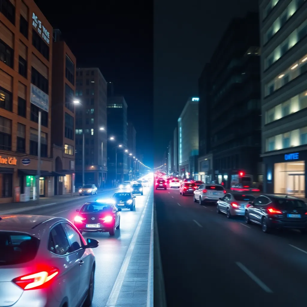
Aerial views of cities highlight the density, design, and rhythm of urban life. Skyscrapers, roads, and traffic patterns create dramatic visuals that ground-level shots can’t match. These images are invaluable for city branding, tourism, and real estate marketing.
Aerial photography reveals the scale and diversity of natural landscapes—forests, mountains, rivers, and deserts. It’s essential for conservation, environmental monitoring, and storytelling that captures the beauty and fragility of our planet.
Farmers, agronomists, and researchers use aerial imagery to monitor crop health, irrigation, and field patterns. This bird’s-eye perspective helps in precision agriculture, identifying issues and optimizing yields efficiently.
Visualizing coastlines from above offers stunning contrasts between land and water, as well as human activity on the shore. These images are ideal for travel marketing, environmental studies, and even insurance assessments of coastal properties.
Aerial shots of stadiums and sports events provide comprehensive overviews, showing crowd size, field layouts, and the surrounding environment. They’re widely used in broadcasts, event recaps, and promotional materials.
For architects and developers, aerial imagery is crucial in illustrating building layouts, landscaping, and integration within broader environments. It’s an effective way to communicate vision, progress, and context to stakeholders.
The Aerial effect is one of the most powerful tools in modern photography, transforming ordinary scenes into extraordinary images that inform, inspire, and captivate. Whether you’re a professional, a creative hobbyist, or a business seeking to stand out, leveraging the unique perspective of aerial imagery will elevate your visual storytelling and help you see the world in new ways.
Try Photomatic AI to generate awe-inspiring aerial effect images. Our advanced AI lets you produce high-quality, bird’s-eye-view photos in just a few clicks. Experiment with the Aerial effect today and transform your visual storytelling!
The Aerial effect refers to images captured from elevated perspectives, typically using drones or other airborne devices. This effect offers a bird’s-eye view, revealing patterns, scale, and spatial relationships that are impossible to capture from ground level.
You can achieve the Aerial effect by using drones, helicopters, or taking photos from high vantage points such as tall buildings or mountains. Many editing tools also offer simulated aerial perspectives, but real elevation usually yields the most striking results.
The Aerial effect is especially impactful in landscape, cityscape, architecture, real estate, sports, and event photography. It’s also invaluable for environmental documentation, agriculture, and tourism imagery.
While dedicated drones and aerial cameras provide the best results, you can sometimes achieve similar effects from tall structures or with the help of AI tools that simulate aerial perspectives. However, for true bird's-eye views, a drone or equivalent device is recommended.
Yes, drone and aerial photography are subject to regulations that vary by country and region. Always check local laws regarding flight permissions, restricted areas, and privacy before capturing aerial images.
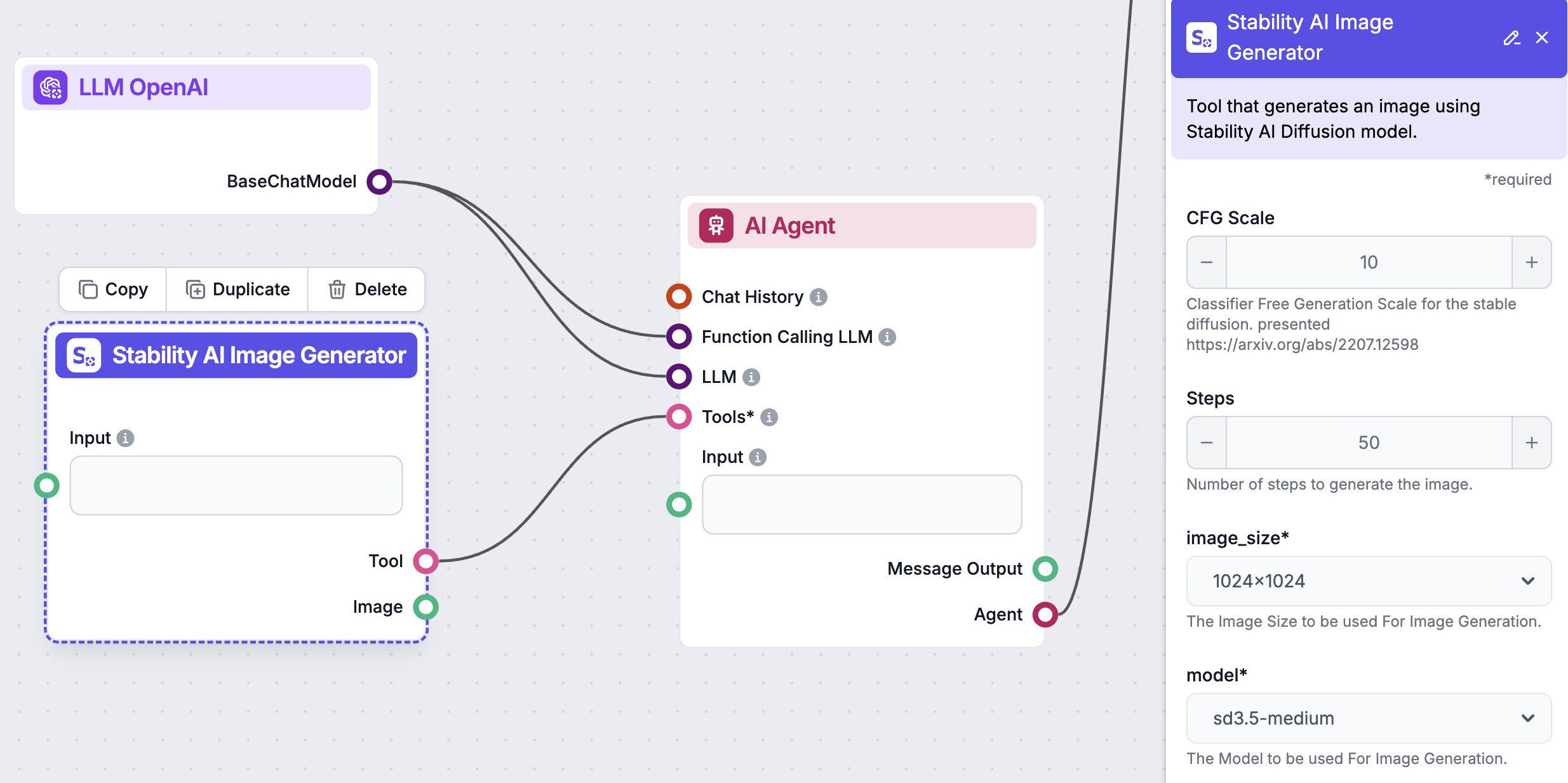
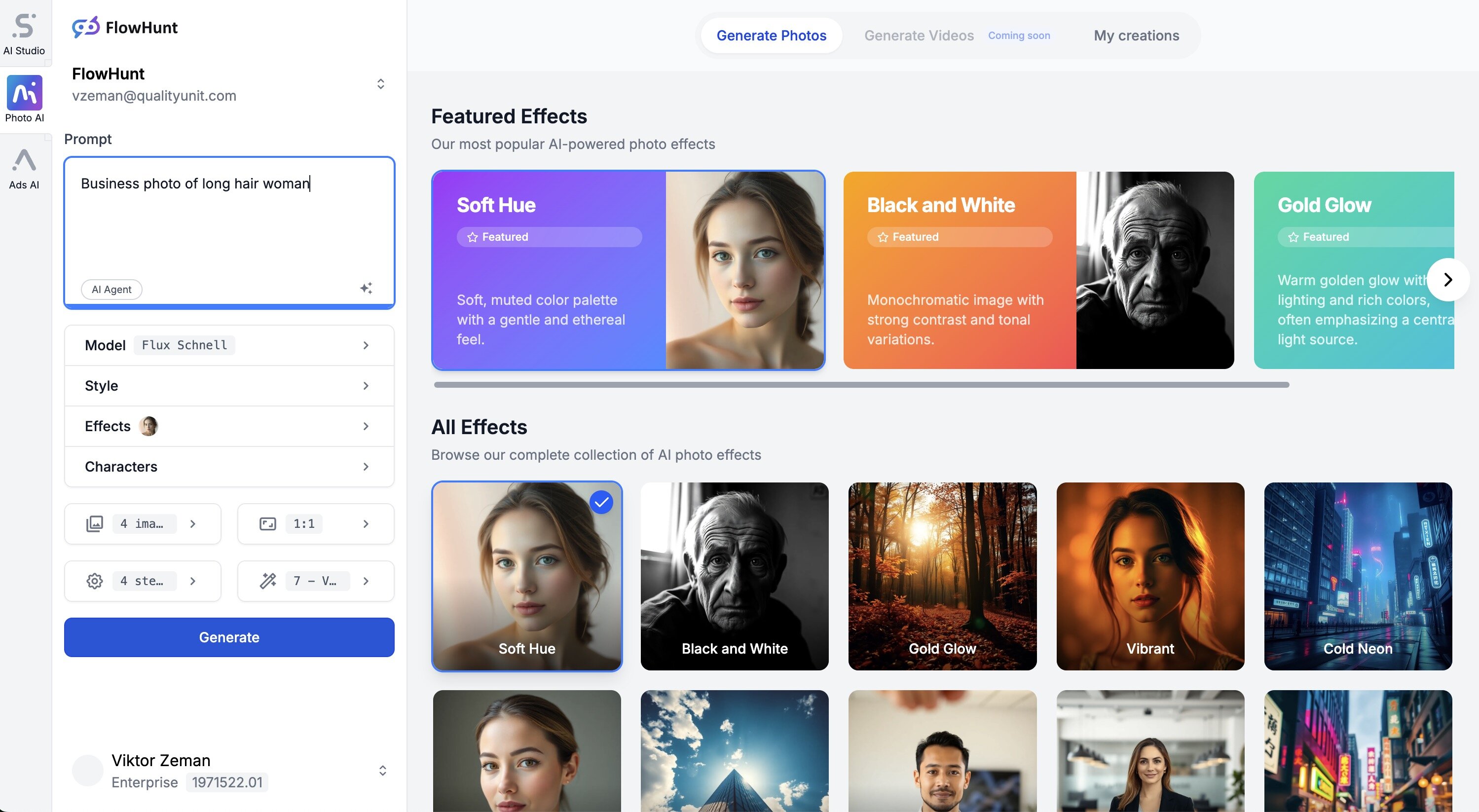
Give to AI Agents and AI Crews tools to generate images
FlowHunt is much more than an image generation platform. You can automate your image generation process with AI Agents or Crews in AI Studio. Create stunning visuals in seconds, tailored to your needs. Whether you need product photos, marketing visuals, or unique artwork, our platform makes it easy to bring your ideas to life. AI Studio supports wide range of image generation models.
Example usage:
Explore our other effects to enhance your AI generated images
The Black and White effect transforms color images into grayscale, emphasizing contrast, texture, and composition. This classic effect is beloved in portrait, s...
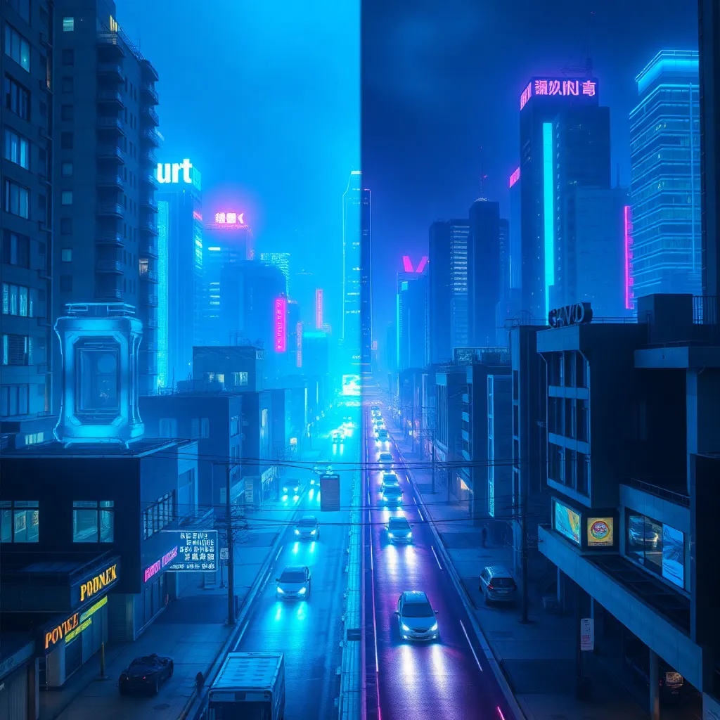
The Cold Neon effect is a visually striking color grading style that bathes images in cool, electric neon tones—primarily blues, purples, and cyans. This effect...
The Dramatic Effect is a powerful visual technique in photography that intensifies mood, highlights emotion, and creates striking visual impact. Utilizing bold ...
The Flash Effect is a photographic technique where a sudden burst of artificial light is used to illuminate a scene or subject, resulting in high contrast, vivi...
The Gold Glow effect is a radiant visual enhancement that bathes images in warm, golden highlights. Popular in luxury, fashion, branding, product, and fantasy a...
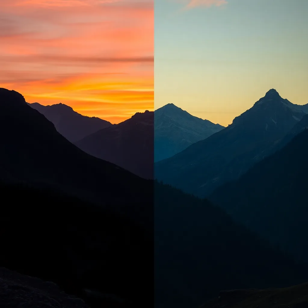
The Golden Hour effect is a sought-after lighting phenomenon in photography, characterized by the warm, soft, and diffused sunlight that occurs shortly after su...

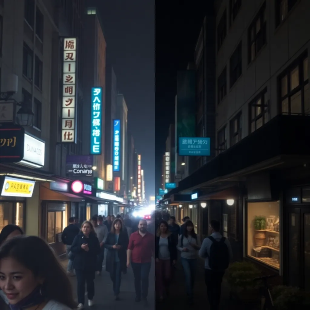
Indoor Light Effect is a photographic and editing technique that enhances images by simulating or accentuating artificial light sources within interior spaces. ...
The Iridescent Effect brings a spectrum of shifting, luminous colors to images, creating a captivating visual experience reminiscent of shimmering soap bubbles,...
Long Exposure is a photographic effect that captures the movement of subjects over a period of time, resulting in striking visuals such as light trails, silky w...
The Low Angle Effect is a powerful photographic technique where the camera is positioned below the subject, looking up. This effect exaggerates height, conveys ...
The Mid Shot effect is a classic photographic composition technique that frames the subject from the waist up. Widely used in portrait, documentary, fashion, an...
The Portrait Effect is a photographic technique that emphasizes the subject by keeping them in sharp focus while artfully blurring the background. This effect, ...
Soft Hue is a color grading effect that adds delicate, pastel-like color tones to images. Widely used in fashion, portrait, and wedding photography, this effect...
The Tilt Shot effect, also known as the Dutch Angle, involves tilting the camera to create a slanted horizon. Widely used in action, psychological thrillers, ed...
The Vibrant Effect is a color enhancement technique that amplifies the saturation, contrast, and brightness of images for a lively, eye-catching result. Popular...
The Wide Shot effect is a powerful photographic technique that captures an expansive field of view, emphasizing the scale and context of a scene. This effect is...